Atlas of Seyðisfjörður
This collection of drawings documents a series of studies undertaken in the town of Seyðisfjörður in East Iceland. I first visited the town in the autumn of 2020. A few hours after I left, a landslide destroyed a large part of it. Although landslides have become more frequent in our rapidly changing environment, the landscape and settlement of Seyðisfjörður have always been shaped by ongoing change, driven by the development of the fishing industry and shifting climatic conditions.
In the summer of 2022, I began a body of work titled Atlas of Seyðisfjörður. Drawn primarily by hand, these drawings serve as a tool for exploring the town’s cultural landscape, its history, natural environment, and the events that continue to shape it.
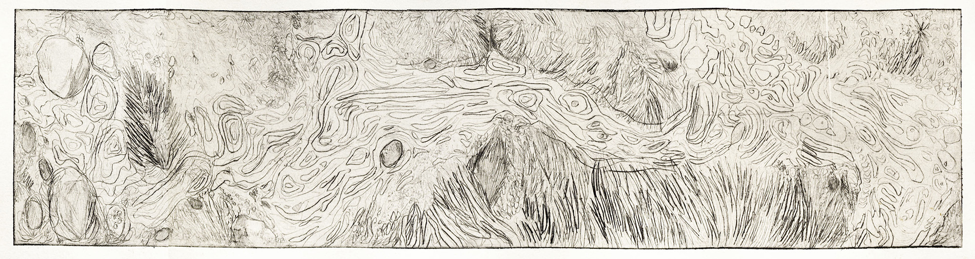
Within architecture, mapping and cartographic investigation provide a means of exploring and understanding a place. The drawings are informed by a range of methods, including sketching, navigating through outdated Google Street View maps, studying found objects, working from memory, examining historical maps and aerial views, measuring build environment and using photographic documentation.
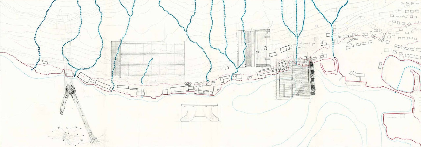
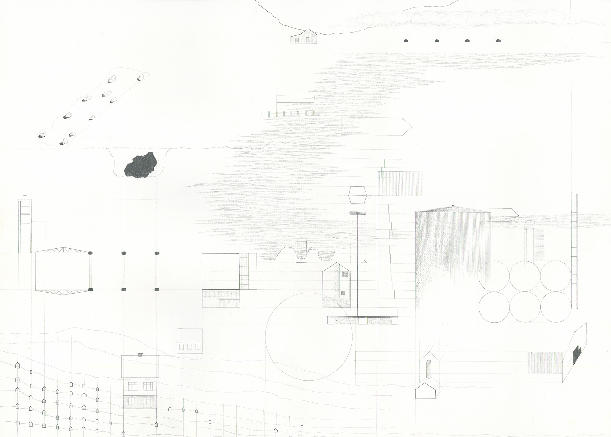
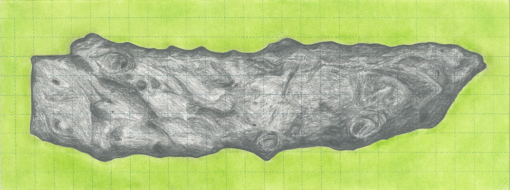
Through studying old maps and aerial views of Seyðisfjörður, I came to understand the expansion of the port and the transformation of the coastline. Looking closely at these maps also revealed characteristics in the urban landscape that I had not noticed before.
The two drawings, Map of the house on the rotten stilts (2022) and Map of the house on the rotten stilts 1:50 (2022), focus on the foundations of an old wooden house located at the boundary between residential and industrial areas. Despite its seemingly unremarkable appearance, the house stands as a marker of the stories and transformations that have shaped the fjord and the surrounding community.
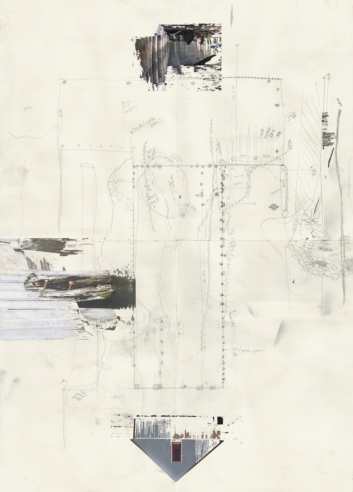
Around a century ago, the components of the house were transported from Norway and arrived in the fjord as a numbered assembly kit, imported to support the expanding fishing industry. More recently, the house has come to represent another chapter in the town’s history, as an artist couple has converted its attic into their home. During the 2020 landslide, the surrounding buildings disappeared, leaving the house standing in isolation. Originally built on wooden piles in the water, it now occupies a different relationship to the shoreline as the ground around it has shifted, leaving a small inlet where the fjord once reached beneath the house. Map of the house on the rotten stilts 1:50 (2022) records these conditions by depicting the tidal variations alongside the mud line.
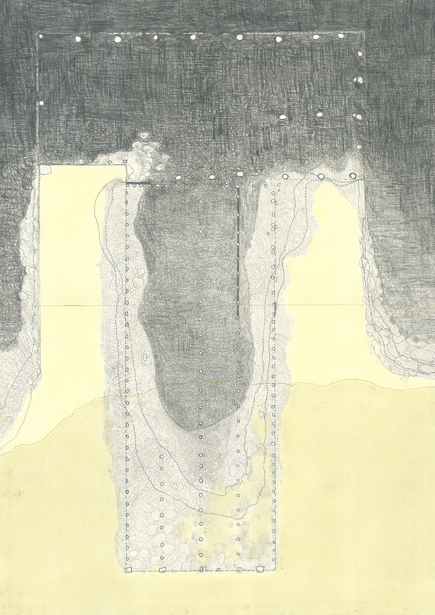
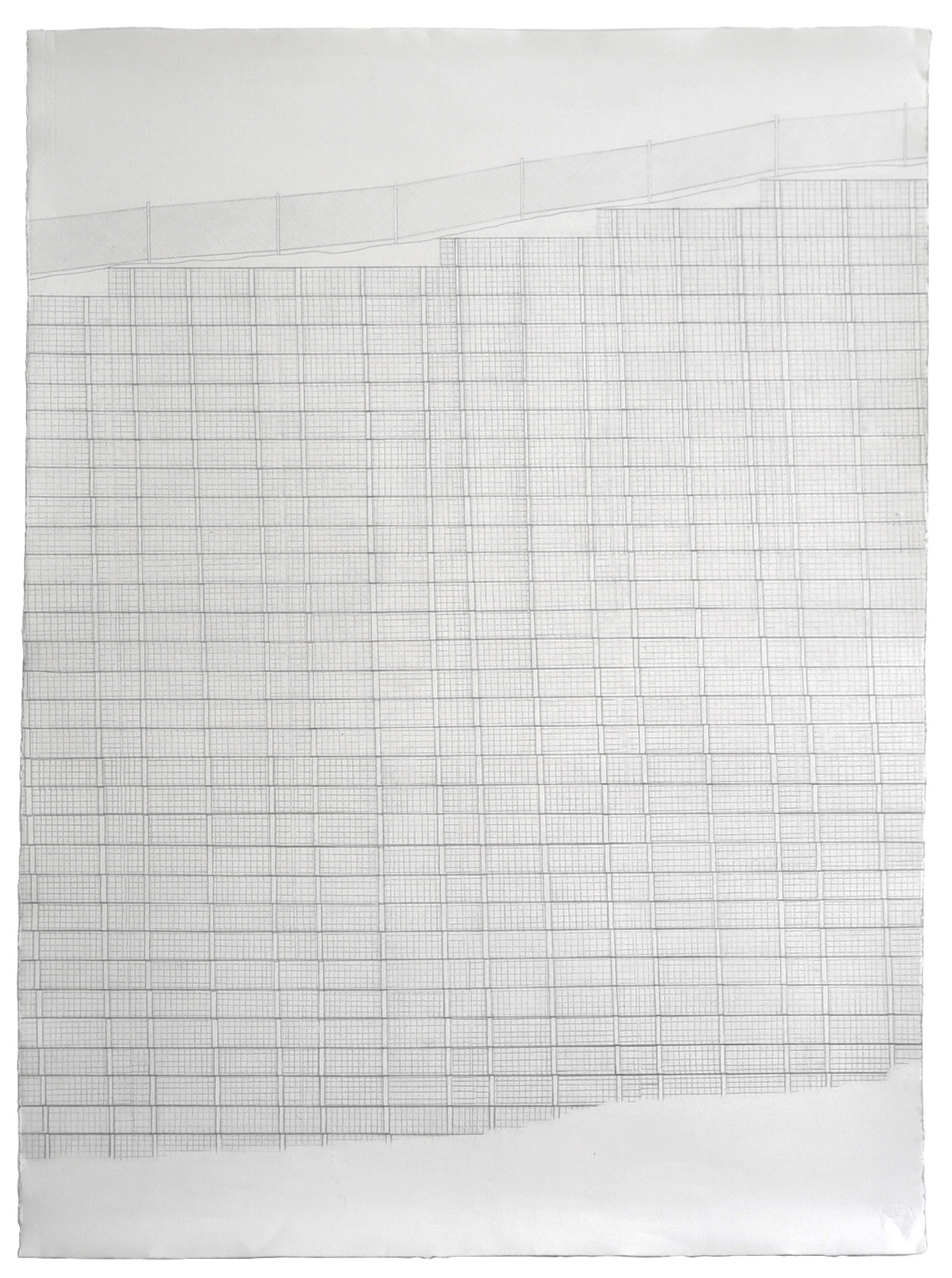
Avalanche barrier 1:20 (2024) is an elevation drawing of a protective barrier under construction at the foot of the mountain Bjólfur. This structure forms part of a larger system of avalanche defences that have been planned for years and, when completed, will extend for more than one kilometre. The avalanche barriers are constructed from the mountain’s own material. The rock is blasted only a few hundred metres from the site and transported to the construction site around the barrier. Before construction began in front of Bjólfur, an archaeological team uncovered the remains of an early Icelandic farmstead. The farm was well-preserved, having been covered by soil during an earlier landslide.
These drawings have been a way of becoming acquainted with a place. I understand mapping as an important architectural practice, not only for engaging with large-scale territorial and planning-related tasks, but also for changing our perception. Mapping offers a way of understanding the temporal dimensions of a landscape, its geological history, and the social and cultural context within which we seek to situate ourselves.
*
Anna Eglite is a freelance architect focusing on research, exhibitions, and teaching. Her practice uses mapping and drawing as methods for exploring cities and cultural landscapes in a state of constant change, with a particular interest in the history of place. She is one half of the studio en:33, which works exploratively at the intersection of landscape, architecture, and art.
This text is one of the selected responses to the second category of the Open Call 2025: Visibility, and the Unseen—a series of short contributions that either bring to the surface the unseen drawings within the Drawing Matter Collection (I. In the Archive) or explore original architectural drawings, created by the author(s) of the contribution, which make visible the unseen (II. In Practice).
